 ENG
 Español
 ENG
 CAT

In brief
- Where it is: in Conca de Dalt, near La Pobla de Segur and the Sant Antoni reservoir.
- What makes it interesting: it preserves traces of a fortified settlement and the story of a gradual move towards the present-day village.
- What to see: Castell d’Aramunt, the old access routes, remains of gateways and walls, Sant Fructuós and the streets of the former settlement.
- How to visit: on foot from Aramunt, checking the signage and route conditions beforehand.
- Important: the buildings are deteriorated; observing the site does not mean entering structures or climbing onto walls.
Where Aramunt Vell is
Aramunt Vell belongs to the municipality of Conca de Dalt. It occupies a hill close to inhabited Aramunt, also known as Aramunt Nou or Les Eres, near the Sant Antoni reservoir.
The proximity of the two settlements is one of the keys to understanding the visit: it allows you to compare the elevated location of the old village with the flatter land where the current settlement developed. To place it within a wider trip, our guide to what to do in La Pobla de Segur includes more ideas in the surrounding area.
A fortified village with more than a thousand years of history
According to the Conca de Dalt Town Council, Aramunt is documented in the year 959 under the name Eramonte. Its location is associated with control of the territory close to the route that linked Urgell with France.
The settlement developed around the highest part of the hill, near Sant Fructuós, and was protected by a walled enclosure. In some documents it appears as “Castell d’Aramunt”, a clue to the close relationship between the village and its fortifications. Over time, the houses spread beyond the original enclosed area.
When looking at the site, it is worth trying to read that organisation. Where were the entrances? Which areas were protected by the slope? Where were the main buildings concentrated? These questions help make sense of the site without needing to mentally reconstruct every house.
Why Aramunt Vell was abandoned
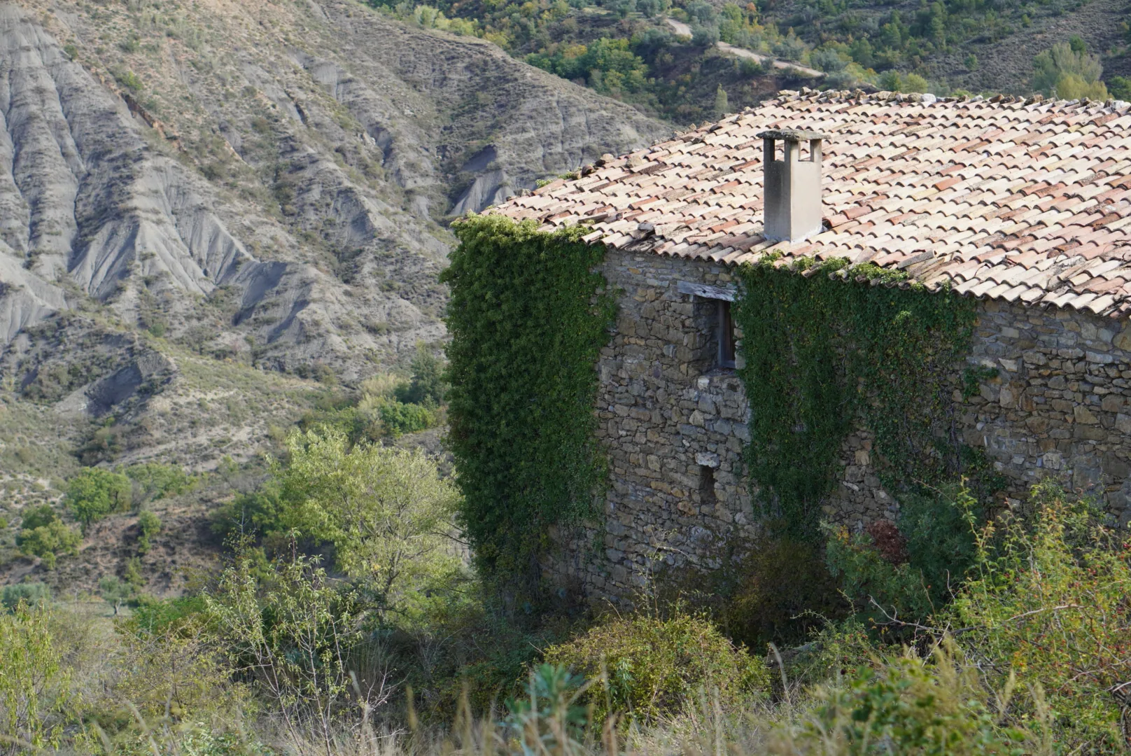
Its elevated position offered defensive advantages, but it became increasingly inconvenient for a way of life more closely linked to access routes and working the lower fields. The move towards Les Eres was gradual, with historical documentation pointing to a decisive phase between the 1940s and the 1960s.
The Official Bulletin of the Parliament of Catalonia records this process and mentions access difficulties, especially for vehicles and agricultural machinery. The present-day village consolidated on flatter land where local families had their threshing floors.
Oral history adds further detail. A report based on residents’ testimonies notes that some families had already settled below before that period, while others moved to cities or elsewhere. Depopulation happened at different speeds and followed different family trajectories.
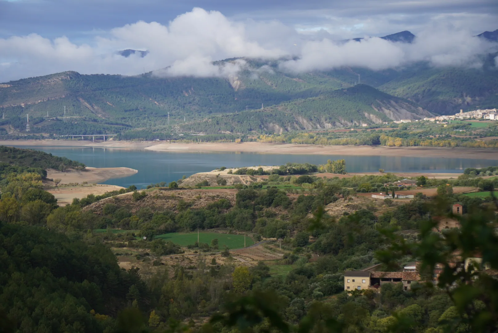
Aramunt Vell was not submerged by the Sant Antoni reservoir. It remains on its hill. Its story is that of a settlement that gradually lost population while life continued elsewhere, especially in nearby Aramunt.
What to see in Aramunt Vell
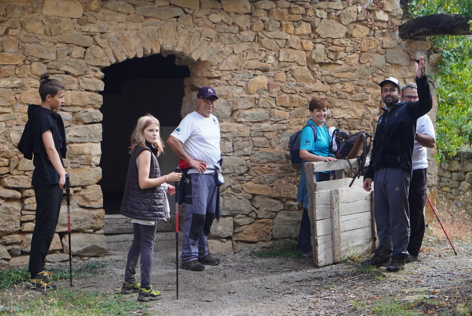
The access routes and old gateways
The path and entrances help explain the relationship between the village and its surroundings. Municipal documentation identifies the Portal de Baix and the Portal de Dalt, or de Fuses, as well as another entrance connected with the castle. Not all the remains are equally easy to identify, so the site should be interpreted from the permitted areas.
The area around Sant Fructuós
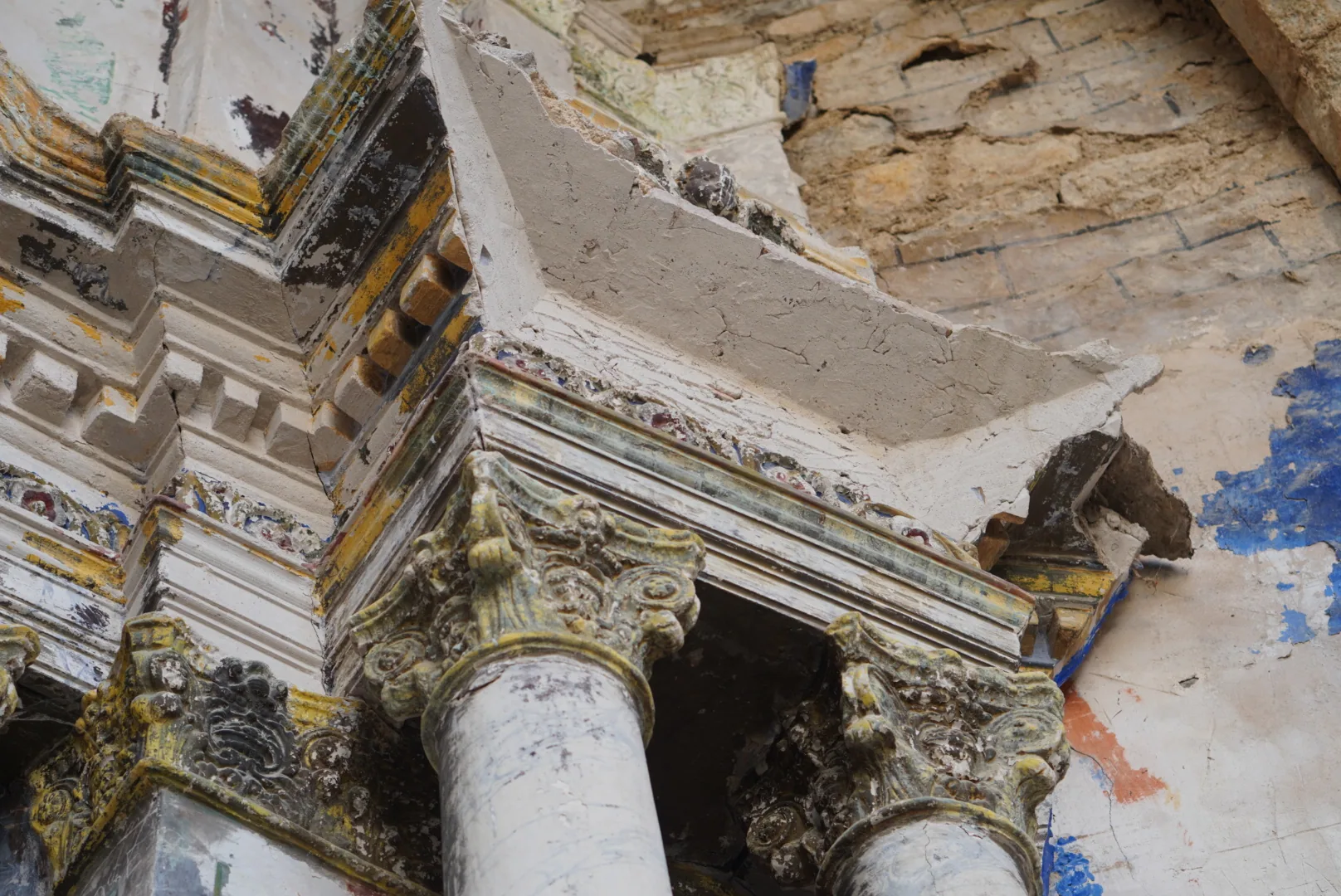
The former church occupies the highest part of the settlement and serves as a reference point for understanding how the village grew. The Enciclopèdia Catalana highlights its Romanesque elements. Its state of preservation means it should be viewed with respect for closures and without assuming that the interior can be visited.
The streets, houses and landscape
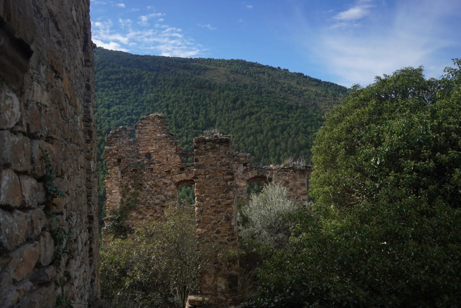
The visit becomes much more interesting when you pay attention to the changes in level, the gaps between buildings and their relationship with the surrounding fields. Imagine the daily movement between the hill and the plain: this helps explain both the choice of the original location and its later abandonment.
To compare Aramunt Vell with other examples in the region, see our selection of abandoned villages in Catalonia.
Castell d’Aramunt
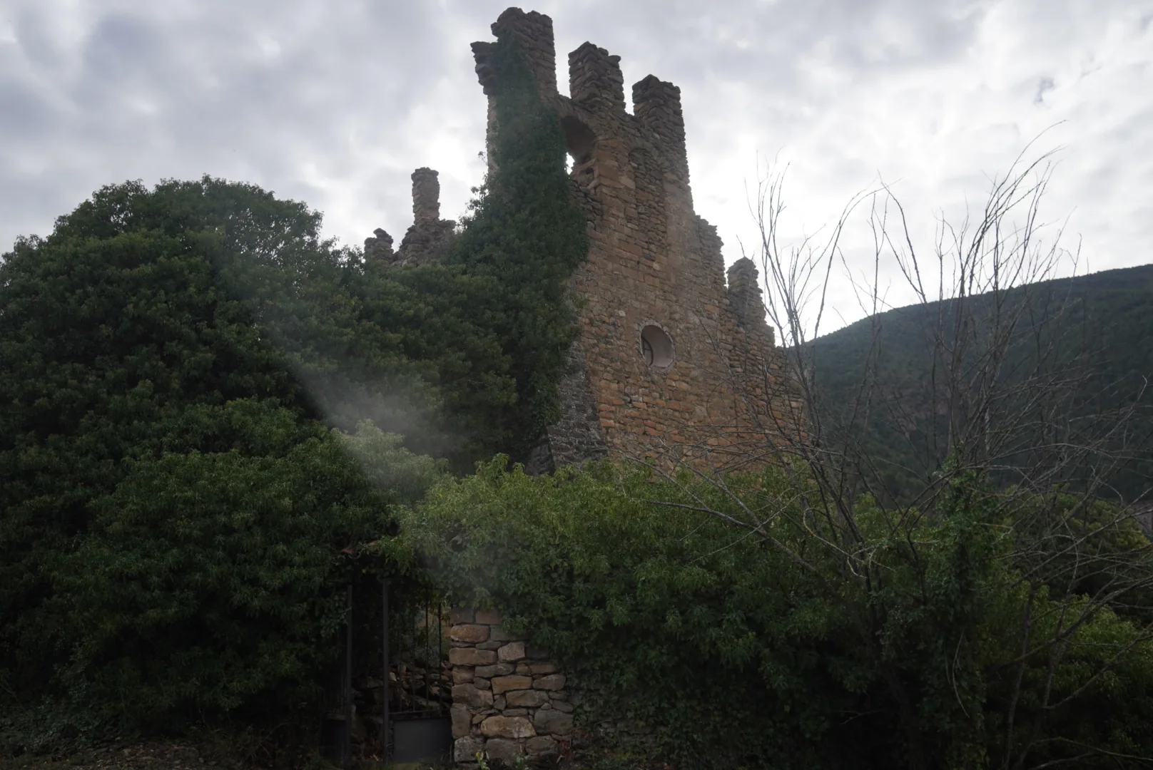
At the highest part of the site are the remains of Castell d’Aramunt, closely linked to the defensive character of the old village. Aramunt Vell was a walled settlement and appears in historical documentation at different times under the name “Castell d’Aramunt”.
One of the most notable surviving elements is a medieval circular tower, together with sections of wall and access points connected to the former fortified enclosure. The tower stands on one of the higher points close to the settlement and helps explain Aramunt’s strategic position above the routes crossing this part of the Pallars.
Rather than looking for a separate monumental castle, it is better to interpret the site as a whole: castle, walls, gateways, church and houses formed part of the same defensive system. Municipal documentation distinguishes an upper area where the church-castle, rectory and buildings associated with civil and religious authority were concentrated.
The remains are now badly deteriorated, so visitors should not climb on the walls or enter unstable structures.
How to get there and prepare your visit
The usual approach starts from present-day Aramunt. There is an uphill path and a rural track running around the hill. A track appearing on a map does not guarantee that it is suitable for every vehicle, so check its condition and any signage before using it.
For an unhurried visit, allow enough time to walk up, explore and return. Distance and duration vary depending on the starting point and route chosen; a short approach should not be confused with an easy urban walk without elevation gain.
- Bring water, footwear with good grip and sun protection.
- Avoid the hottest hours and check ground conditions after rain.
- Do not enter deteriorated houses or climb onto walls or roofs.
- Respect private property, closures and any restriction signs.
With children, consider both the climb and the ruins themselves. Being close to the inhabited village does not remove the risks associated with unstable structures.
What to do afterwards: keep exploring the Pallars
Aramunt Vell invites you to continue exploring the inhabited landscape of the Pallars. The story of Herba Savina offers another chapter of local history, which you can discover through the different versions of the Herba Savina route. The Boumort Reserve broadens the perspective towards forests and wildlife; during the appropriate season, the red deer rut is worth a dedicated outing.
For an active day, you can consider canyoning, via ferratas or caving. Our orienteering activity in the Pyrenees introduces you to the relationship between map and terrain.
If you have more days available, dedicate separate outings to Aigüestortes National Park or the Contrabandistas 4×4 route and the village of Tor. In winter, our snowshoe excursions are a way to discover suitable snowy sectors. These activities take place in different areas and seasons, so it is worth choosing according to travel distances and the characteristics of your group.
Frequently asked questions
Are Aramunt and Aramunt Vell the same village?
They are linked by their history, but they are two different settlements. Aramunt is the present-day inhabited village; Aramunt Vell is the former settlement on the hill.
Was Aramunt Vell flooded by the reservoir?
No. The old settlement remains on the hill. Its depopulation is linked to the gradual movement of residents and changes in living and working conditions.
Can you get there by car?
There is an access track, but you should check its condition and any restrictions. It should not be assumed to be suitable for every standard car. Visiting the remains still requires some walking.
Can you enter the houses or the church?
Access to interiors should never be assumed. Respect closures and signage and avoid entering unstable buildings. Much of the interest of the visit lies in observing the site safely from outside.