 ENG
ENG  Español
 ENG
ENG CAT
CAT
Aigüestortes i Estany de Sant Maurici National Park: what to see, routes and complete guide
In brief:
- What it is: Catalonia’s only national park and one of the great high-mountain landscapes of the Pyrenees.
- What makes it special: more than 200 mountain lakes, glacial valleys, waterfalls, subalpine forests and peaks rising above 3,000 metres.
- Main gateways: Boí for the Aigüestortes sector and Espot for Estany de Sant Maurici.
- For a first visit: Sant Maurici, Els Encantats, Ratera, Planell d’Aigüestortes and Vall de Sant Nicolau are among the park’s most representative places.
- For hiking: options range from easy walks to multi-day high-mountain treks.
- In winter: much of the park is covered in snow, and routes require suitable equipment, planning and an assessment of snow and avalanche conditions.
Some places in the Pyrenees can be understood by following a single valley or one particular route. Aigüestortes i Estany de Sant Maurici National Park is different. Its territory extends across several valleys, slopes and mountain areas, and each access point reveals a different side of the landscape.
Within the same park, you will find dense black pine and fir forests, huge granite walls, valleys carved by ancient glaciers, waterfalls, alpine meadows and an extraordinary concentration of mountain lakes. Water is present almost everywhere and explains both the landscape and the very name Aigüestortes.
It is also a territory that changes dramatically with the seasons. A simple summer trail can become a winter route over snow, where other factors come into play: navigation, snowpack conditions, avalanche risk, temperature, daylight hours and accessibility.
In this guide, we explore the park’s main areas, explain what is worth seeing, how to choose a route and what to consider when discovering Aigüestortes on foot or in winter.
What is Aigüestortes i Estany de Sant Maurici National Park?
Aigüestortes i Estany de Sant Maurici National Park was declared a national park in 1955 and is currently the only protected area of this category in Catalonia.
The core area covers 14,119 hectares, with an additional 26,733 hectares forming a peripheral protection zone. Together, the protected area and its immediate surroundings make up an exceptionally large high-mountain territory.
It lies in the province of Lleida, in the central Pyrenees, and is connected with four comarques: Pallars Sobirà, Pallars Jussà, Alta Ribagorça and Val d’Aran.
Altitudes range roughly from 1,200 to 3,000 metres, with numerous peaks rising above that level. This variation in altitude explains the extraordinary diversity of landscapes found throughout the park, from mountain forests to alpine environments where trees almost disappear entirely.
Where is Aigüestortes and how is the park organised?
One of the first mistakes when planning a visit is to imagine Aigüestortes as a park with a single entrance and several sights clustered around it.
In reality, it is a mountain territory crossed by several valleys. The two traditional and best-known gateways are Boí and Espot.
Boí and Aigüestortes sector
From Vall de Boí, visitors enter the western sector of the park and reach Planell d’Aigüestortes, one of the landscapes that best explains the origin of the park’s name.
From here, routes lead towards Vall de Sant Nicolau, Estany Llong, Estany Redó and other itineraries that gradually move from forest into high-mountain terrain.
Espot and Sant Maurici sector
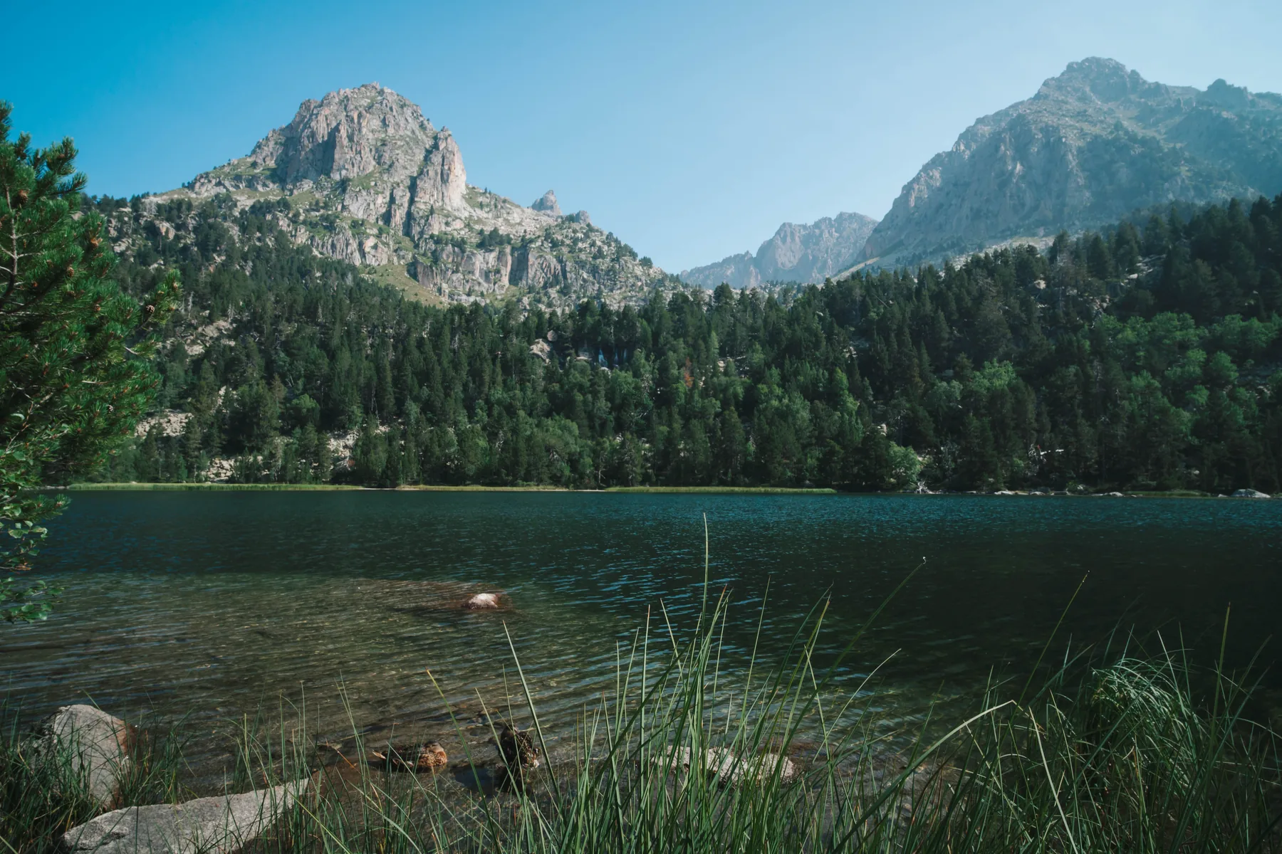
From Espot, visitors access Estany de Sant Maurici, probably the park’s most recognisable landscape. The distinctive silhouette of Els Encantats rises above the lake, while higher up lie Ratera, Amitges and numerous glacial lakes.
It is also one of the best areas for combining a relatively accessible first visit with longer mountain routes.
Boí and Espot are not two nearby car parks on opposite sides of the same valley. Driving between the two sectors takes approximately two hours, so it is worth deciding in advance which area you want to explore.
A landscape shaped by ice and water
To understand Aigüestortes, you need to look beyond the lakes. Much of the terrain we see today is the result of ancient glacial activity.
During the glacial periods, huge masses of ice occupied these valleys and profoundly reshaped the relief. The movement of the glaciers excavated basins, widened valleys and created many of the landforms that now define the park.
As a result, the landscape includes U-shaped valleys, glacial cirques, rock walls, scree slopes, lake basins and large granite boulders.
When the glaciers disappeared, water filled many of the depressions carved into the rock. This is the origin of the extraordinary number of lakes found here today.
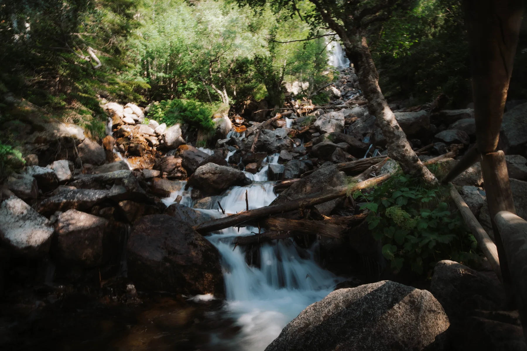
But water is not limited to the estanys. It also appears in streams, waterfalls, wetlands and watercourses that meander across almost flat valley floors.
These winding watercourses explain the name Aigüestortes: waters that twist and curve rather than flowing directly downhill.
The geological contrast within the Pallars is remarkable. While Aigüestortes is defined by granite and glacial landforms, farther south the scenery changes completely, with limestone relief, fossils and vast Pre-Pyrenean landscapes. To compare these two environments, see our complete guide to the Boumort Reserve.
More than 200 mountain lakes: water at the heart of the park
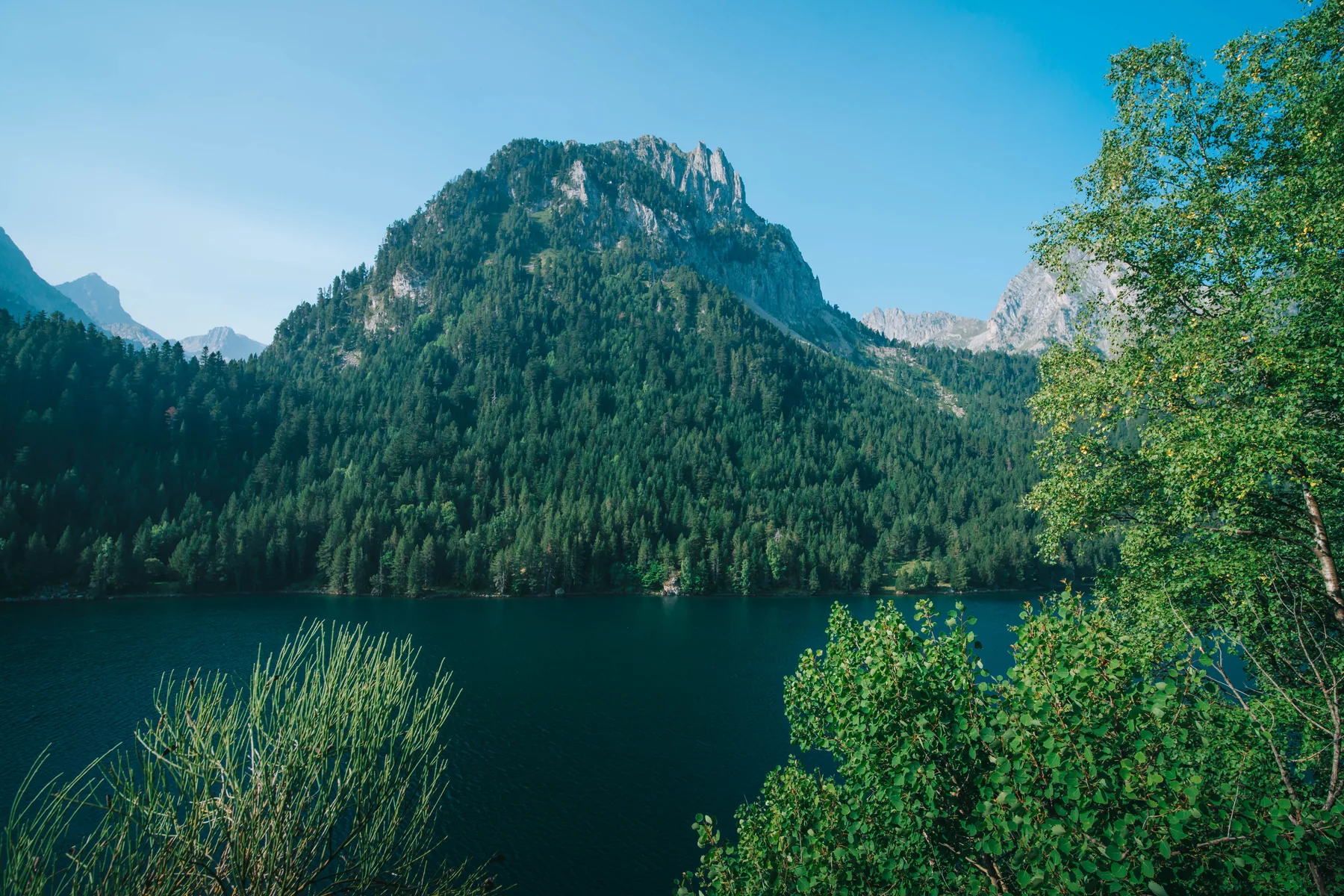
One of the most distinctive features of the National Park is its concentration of high-mountain lakes. Its territory contains more than 200 estanys, along with numerous rivers, streams, waterfalls and wetlands.
They are not all alike, nor are they found at the same altitude. Some are surrounded by forest, while others lie in rocky basins almost devoid of vegetation, well into the alpine zone.
Among the best-known lakes are:
- Estany de Sant Maurici;
- Estany de Ratera;
- Estanys d’Amitges;
- Estany Llong;
- Estany Redó;
- Estany Negre;
- Estany Gento;
- and the groups of lakes found in the higher sectors of the park.
This combination of granite rock, water and large elevation differences is one of the reasons why two routes located relatively close to each other can offer completely different scenery.
What to see in Aigüestortes i Estany de Sant Maurici National Park
Trying to create a definitive list of must-see places is not especially useful in a park of this size. However, several areas offer a particularly good introduction to its most representative landscapes.
Estany de Sant Maurici
It is one of the best-known places in the park and the main landmark of the Espot sector.
The lake lies at around 1,900 metres above sea level and is surrounded by forest and high mountains. From here, several routes continue farther into the park, so the visit does not have to end at the lakeshore.
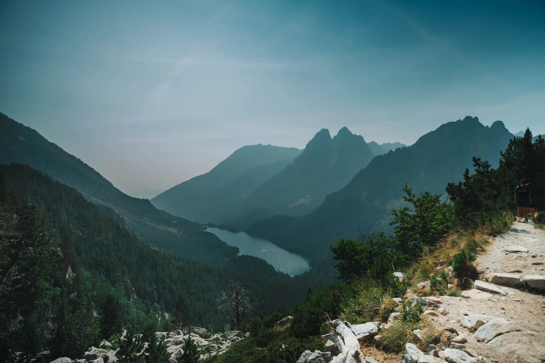
Els Encantats
The silhouette of Els Encantats rises directly above Sant Maurici and has become one of the most recognisable images of the Catalan Pyrenees.
Its two peaks, separated by a pronounced notch, dominate many of the views from the lake and from different points along the route towards Ratera.
Ratera Waterfall and Estany de Ratera
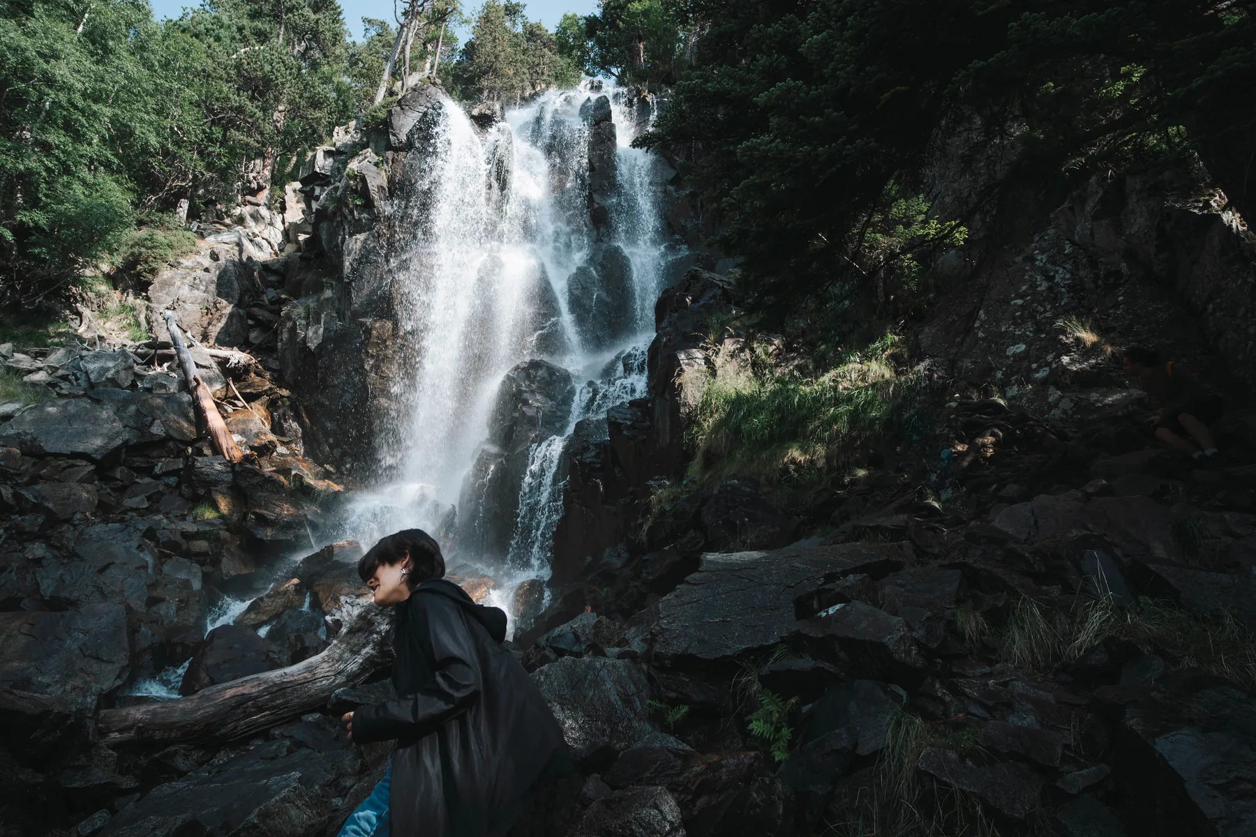
From Sant Maurici, the route continues uphill towards Cascada de Ratera and then Estany de Ratera.
The walk clearly shows the transition from the forested surroundings of Sant Maurici to the more open landscapes found at higher elevations.
Amitges
Above Ratera, the terrain becomes increasingly alpine. The surroundings of Refugi d’Amitges, at over 2,300 metres, are characterised by lakes, rocky spires and extensive granite terrain.
It is an especially interesting area for those who want to turn a visit to Sant Maurici into a full mountain day.
Planell d’Aigüestortes
In the Boí sector, we find another of the park’s defining landscapes.
At Planell d’Aigüestortes, the river loses gradient and winds through meadows, forests and wetlands. This is one of the easiest places to understand where the National Park gets its name.
Vall de Sant Nicolau and Estany Llong
From Aigüestortes, you can continue walking through Vall de Sant Nicolau towards Estany Llong. It is an excellent route for seeing how the landscape gradually changes from valley floor to increasingly open mountain terrain.
Vall Fosca and Estany Gento
The Pallars Jussà side provides a completely different gateway to the protected area. Vall Fosca offers access to another high-mountain landscape, also characterised by numerous lakes.
In summer, the cable car connecting Sallente with Estany Gento makes it easier to reach higher elevations and serves as a starting point for several routes.
Besides hiking, the Pallars and Lleida Pyrenees offer many other ways to combine a visit to Aigüestortes with mountain activities. Depending on the season and the group’s level, you can try canyoning in the Pyrenees, tackle via ferratas or explore the underground world through caving in Catalonia.
Hiking routes in Aigüestortes and Sant Maurici
One of the great advantages of the park is the variety of routes available. Options range from relatively short walks to long multi-day traverses.
Choosing a route should not be based on distance alone. In high mountains, elevation gain, altitude, terrain, navigation, weather and the group’s experience are equally important.
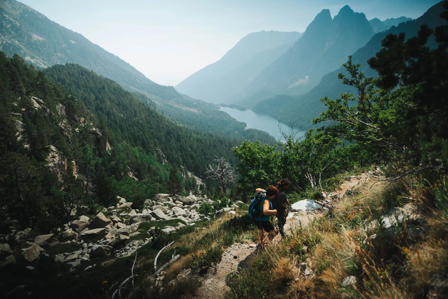
Prat de Pierró – Estany de Sant Maurici
One of the classic ways to reach Sant Maurici on foot is to start from Prat de Pierró and gradually climb up the valley.
It is an excellent introduction to this sector because it allows you to enter the park on foot and observe the transition from forest to the landscape surrounding the lake.
Sant Maurici – Ratera
From Sant Maurici, you can continue towards Cascada de Ratera and Estany de Ratera. The elevation gain increases, while the views gradually open up over Els Encantats and the surrounding valley.
Sant Maurici – Amitges
Those looking for a more complete mountain day can continue from Ratera towards the Amitges sector.
The altitude and elevation gain are greater, and the surroundings become distinctly alpine. In a single day, this route brings together many of the park’s defining features: forest, lakes, waterfalls, granite rock and high-mountain scenery.
Aigüestortes – Estany Llong
From the Boí sector, the route towards Estany Llong is another classic option. It crosses Planell d’Aigüestortes before continuing farther into Vall de Sant Nicolau.
The National Park is only one of many hiking areas in the Lleida Pyrenees. If you would like to discover very different landscapes within the same region, you can also explore the Herba Savina route, discover the history of the abandoned village of Espluga de Cuberes or explore more hiking routes in the Pyrenees.
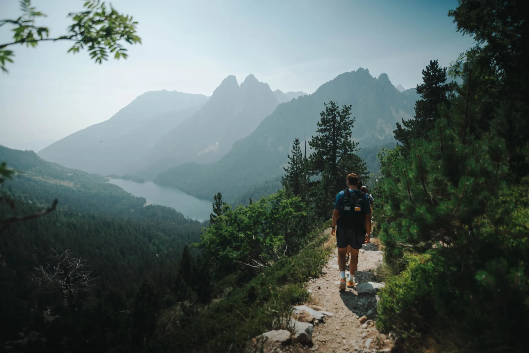
Traverse via Portarró d’Espot
Portarró connects the park’s two main sectors and makes it possible to cross between Aigüestortes and Sant Maurici.
This should not be confused with a short walk between two tourist attractions. It is a mountain route with significant elevation gain and different logistics, especially if you plan to start in one valley and finish in another.
If you would like to discover the area with a guide and adapt the route to your level and the day’s conditions, see our guided hiking routes in the Pyrenees.
Would you like to discover Aigüestortes on foot?
Not everyone needs the same route. We can adapt a hiking day to the group’s fitness, experience and objectives while taking current mountain conditions into account.
Aigüestortes in winter: the same park, a different mountain
Visiting Aigüestortes in winter is very different from visiting in summer.
For much of the year, roughly from late November to early May, large areas of the park may remain covered in snow. In these conditions, paths that are clearly visible in summer can disappear completely.
Travel times, physical effort and the risks that need to be assessed also change.
A winter route may require:
- snowshoes or other equipment depending on the terrain;
- clothing and footwear suitable for low temperatures;
- navigation skills;
- assessment of snowpack conditions;
- checking the avalanche forecast;
- adapting the route to weather and visibility;
- planning around shorter daylight hours.
For this reason, a summer route should not automatically be treated as the same itinerary in winter with the only difference being snow underfoot.
Snowshoeing in Sant Maurici and Amitges
The Sant Maurici sector is also one of the areas where we organise winter activities.
The snowshoe route from Sant Maurici towards Ratera and Refugi d’Amitges offers a completely different landscape from the one seen during the snow-free months.
The reference itinerary begins near Estany de Sant Maurici, at around 1,900 metres, continues towards Ratera and gradually climbs to the area around Refugi d’Amitges, located above 2,300 metres.
The route is approximately 10.3 km long, with around 540 metres of positive elevation gain and an estimated duration of 4.5–5 hours. We classify it as intermediate and it requires a suitable level of fitness for several hours of walking on snow.
In winter mountains, however, the figures on a route description are only a reference. Snow conditions, wind, visibility and safety considerations may make it necessary to change the route or set a different turnaround point.
Wildlife in Aigüestortes National Park
High-mountain wildlife is not always easy to see. Many animals avoid the busiest areas, and some are much easier to detect through tracks, calls or other signs than by direct observation.
Around 200 vertebrate species live in the park.
Among the most representative mammals are:
- the Pyrenean chamois;
- the marmot;
- roe deer;
- wild boar;
- the stoat.
Birds are one of the most diverse groups. Forest species include the western capercaillie, black woodpecker and boreal owl, while large birds of prey can be seen over slopes and ridges.
These include the bearded vulture, golden eagle and griffon vulture.
In alpine areas, species adapted to high-altitude conditions include the rock ptarmigan, while the park’s cold waters are also home to characteristic Pyrenean amphibians such as the Pyrenean brook salamander.
For those especially interested in wildlife watching, the Pyrenees and Pre-Pyrenees offer very different experiences depending on the season. One of the most striking is the red deer rut in Catalonia, which can be observed in autumn in other areas of the Pallars and Pre-Pyrenees.

Forests, alpine meadows and high-mountain vegetation
Vegetation changes clearly with altitude, slope orientation and soil conditions.
At lower and middle elevations, several types of forest can be found. On wetter slopes there are fir forests, while at higher elevations mountain pine becomes especially important, as it is one of the species best adapted to the subalpine zone.
In shaded areas, these forests may have an understorey of rhododendron and bilberry.
As elevation increases, the favourable growing season becomes too short for trees. The forest gradually disappears and gives way to alpine meadows, scree and plant communities capable of surviving cold, wind and long periods of snow cover.
This vertical distribution of vegetation is especially easy to observe on a route that climbs several hundred metres: the landscape changes noticeably as altitude increases.
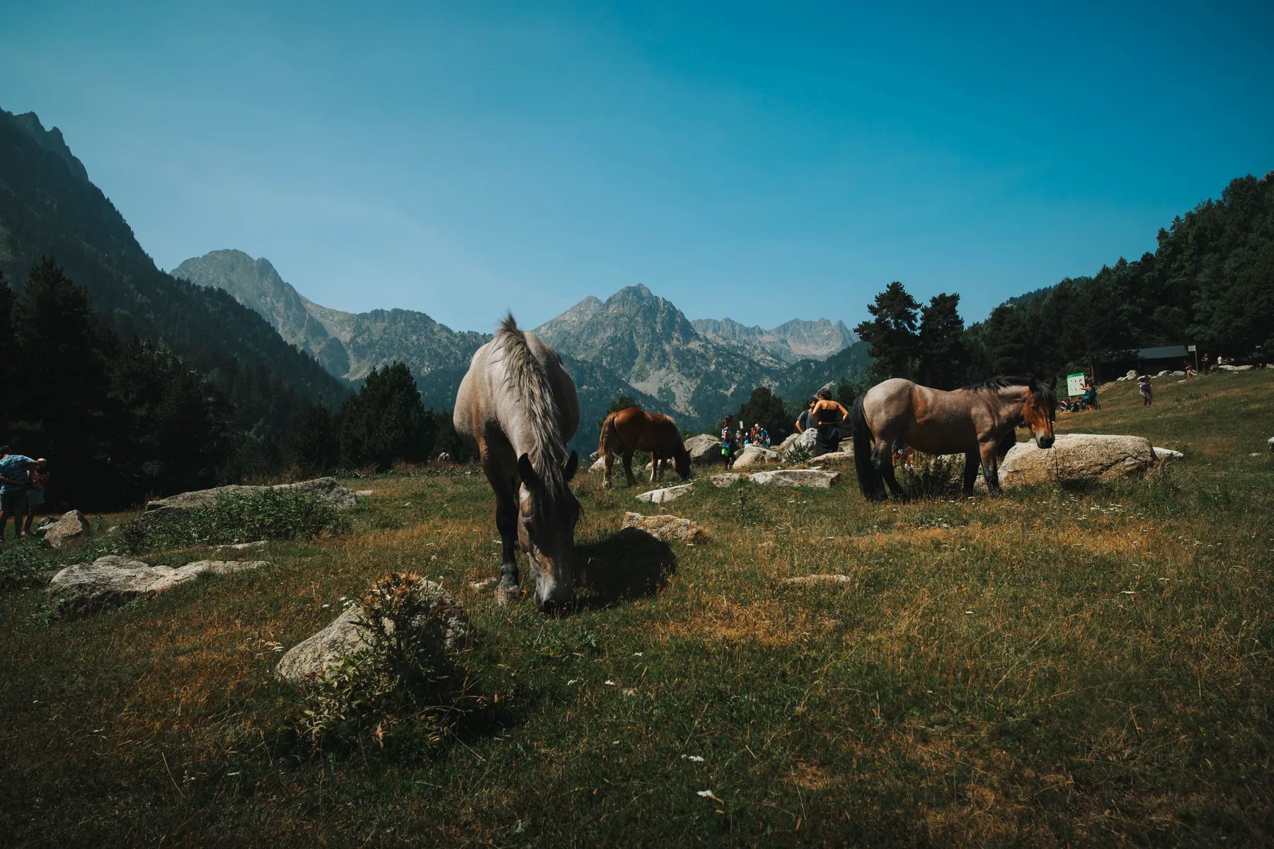
How to get to Aigüestortes National Park
The first decision should not be where to park, but which sector of the park you want to visit.
Private vehicle traffic is highly restricted inside the National Park. In general, cars must be left at designated parking areas near the various entrances, and visitors continue on foot or use authorised transport services.
Access from Espot
Espot is the main gateway for visiting Estany de Sant Maurici.
Prat de Pierró car park is one of the principal access points for those entering on foot. Capacity is limited and the car park may close once full.
An authorised 4×4 taxi service also runs from Espot to the Sant Maurici sector when conditions allow.
In winter, access changes. The road to Prat de Pierró may be closed because of snow or ice and, under current municipal regulations, the car park remains closed from 1 December until the beginning of the Easter period.
Access from Boí
Boí is the main gateway to Planell d’Aigüestortes and Vall de Sant Nicolau.
An authorised 4×4 transport service also allows visitors to reach farther into the park without having to climb the entire elevation gain from the valley floor.
Access via Vall Fosca
In Vall Fosca, Sallente reservoir is one of the main reference points.
During the summer season, usually between July and September, the Sallente – Estany Gento cable car makes it possible to gain much of the elevation and begin different hikes at higher altitude.
Access conditions may change because of snow, ice, roadworks, visitor numbers or other circumstances. Before travelling, always check the latest access information for the National Park.
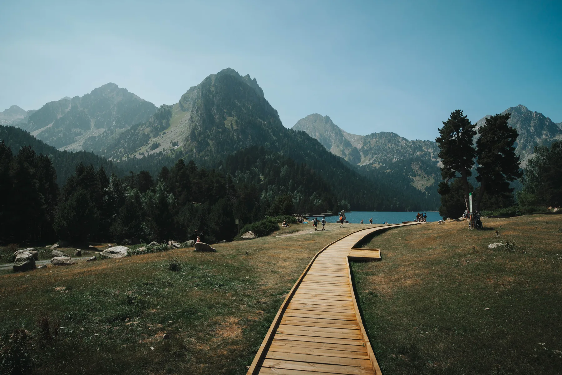
Espot or Boí: which entrance should you choose?
There is no single best entrance. The right choice depends on what you want to see and how much time you have.
| If you want to see or do… | Recommended sector |
|---|---|
| Estany de Sant Maurici and Els Encantats | Espot |
| Ratera and Amitges | Espot |
| Planell d’Aigüestortes | Boí |
| Vall de Sant Nicolau and Estany Llong | Boí |
| Snowshoe route towards Amitges | Espot / Sant Maurici |
If you have several days, visiting different sectors makes sense. If you only have one day, it is usually better to choose one area and explore it properly rather than spend several hours driving between valleys.
When is the best time to visit Aigüestortes?
There is no single answer. Each season reveals a different park.
Spring
Snowmelt begins in the lower areas and rivers and waterfalls carry more water, while substantial snow may still remain at higher elevations.
At this time of year, it is especially important not to assume that conditions in the valley are representative of what you will find several hundred metres higher.
Summer
This is generally the most accessible season for hiking and offers the widest range of possible routes.
It is also the busiest period, especially around Sant Maurici and Aigüestortes. Car parks and transport services can be in high demand.
Autumn
The changing colours of the forests completely transform some parts of the park, while visitor numbers usually fall.
On the other hand, days are shorter and the first snowfalls may quickly change conditions in the higher areas.
Winter
Snow transforms both the landscape and the way we move through it.
It is an excellent season for discovering the park on snowshoes, but a winter route must be treated as a mountain activity rather than simply the snowy version of a summer walk.
Another way to discover the Pallars is to visit some of its more isolated valleys and villages. A very different experience from the high-mountain routes of Aigüestortes is the 4×4 smugglers’ route and the village of Tor, combining mountain scenery, local history and old cross-border tracks.
Aigüestortes with children
The National Park can be visited as a family, but the route should be chosen according to the children’s age, experience and familiarity with walking in the mountains.
Authorised transport services from Boí and Espot make it possible to reach some of the best-known areas without completing the entire climb from the valley floor, making shorter visits easier.
The surroundings of Planell d’Aigüestortes and some routes near Sant Maurici offer a good first introduction to the park without requiring a long high-mountain day.
Even on easier routes, however, it is important to consider:
- rapid changes in weather;
- strong solar radiation at altitude;
- temperatures considerably lower than in the valley;
- uneven terrain;
- the actual round-trip distance;
- water and food availability;
- each child’s ability to walk for several hours.
The difficulty of a family route should never be judged by distance alone.
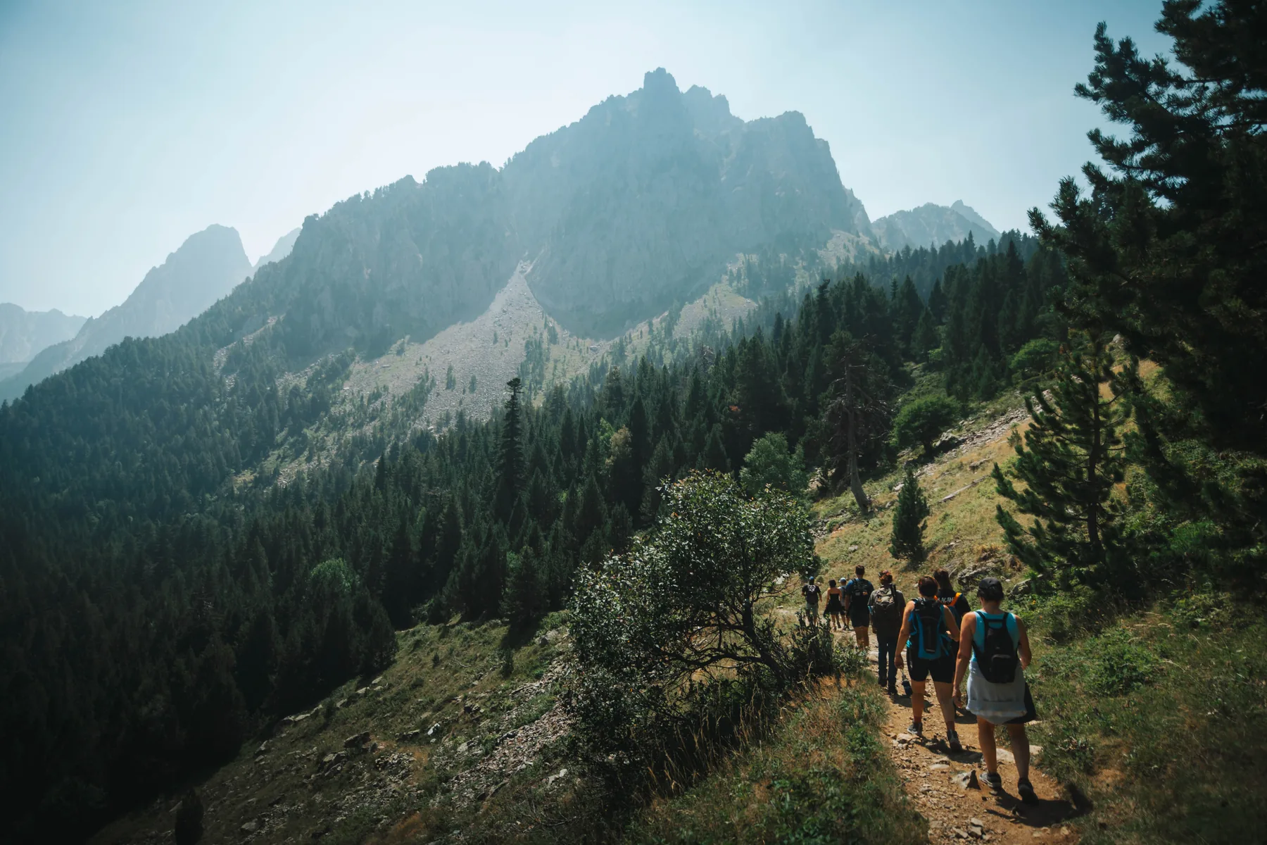
Mountain huts and multi-day treks
The network of mountain huts makes it possible to discover Aigüestortes in a completely different way.
Huts associated with the area’s major routes include Amitges, Ernest Mallafré, Estany Llong, Colomina, Ventosa i Calvell and Josep Maria Blanc.
They make it possible to organise multi-day treks without having to return to the valley floor at the end of each day.
Carros de Foc
The best-known trek is Carros de Foc, a high-mountain circuit connecting several huts in the Aigüestortes and Sant Maurici area.
It is not a single excursion or a short marked trail that can be completed in a few hours. It requires planning stages, hut bookings, suitable equipment, elevation gain and attention to weather conditions.
For a first-time visitor, a multi-day trek is not necessary to appreciate the park. But for experienced hikers, spending several days crossing it offers a much better sense of the true scale of this mountain landscape.
Basic rules for visiting the National Park
National Park status means that its ecosystems are subject to particularly strict protection.
Among the rules to keep in mind:
- Lighting fires is not permitted.
- Wild camping and bivouacking are prohibited within the National Park and its peripheral protection zone; overnight stays must be in authorised huts and accommodation.
- Plants, flowers, fruits, mushrooms, rocks and other protected natural elements must not be collected.
- Dogs must be kept on a lead during the visit.
- Swimming and other water activities are not permitted in the park’s rivers and lakes.
- Drones and other flying devices may not be used without the corresponding authorisation.
- All rubbish must be taken out of the mountains with you.
- Signs and vehicle restrictions must be respected.
These rules are not merely administrative restrictions. Protecting the park depends largely on reducing the impact on water, flora and wildlife in a particularly sensitive high-mountain environment.
Tips before visiting Aigüestortes
A good visit begins before you arrive at the park.
- Choose your sector first. Sant Maurici, Aigüestortes and Vall Fosca require different access routes.
- Check current access conditions. Closures may occur because of snow, ice, full car parks or other circumstances.
- Check the mountain weather forecast. Conditions in the valley may be very different from those at 2,000 or 2,500 metres.
- Do not judge a route by distance alone. Elevation gain and terrain can completely change its difficulty.
- Wear suitable footwear. Even many popular routes cross genuine mountain terrain.
- Carry enough water and food. On longer routes, do not rely on finding services along the way.
- Bring sun protection and an insulating layer. Altitude can produce large temperature changes.
- Do not rely solely on your mobile phone. Coverage may be limited or unavailable in large areas of the park.
- In winter, check snow conditions. A familiar-looking route may require completely different planning.
If you would prefer to discover the area on a route adapted to the group’s level, see our hiking activities in the Pyrenees.
Discover Aigüestortes with MundoCanyon
From a day hike to a winter snowshoe route, the right itinerary depends on the season, current conditions and the group’s experience.
MundoCanyon is based in the Pallars, and we can adapt the activity to your level and to the actual conditions in the mountains.
See hiking routes →
See the Sant Maurici – Amitges snowshoe route →
Frequently asked questions about Aigüestortes and Estany de Sant Maurici
Where is Aigüestortes i Estany de Sant Maurici National Park?
It is located in the Lleida Pyrenees and its territory is associated with the comarques of Pallars Sobirà, Pallars Jussà, Alta Ribagorça and Val d’Aran.
What is the main entrance to the National Park?
There is no single main entrance. Boí is the main gateway to the Aigüestortes sector, while Espot is the usual access point for Estany de Sant Maurici. Other entrances are available from the valleys surrounding the park.
Is it better to enter through Espot or Boí?
It depends on what you want to visit. Espot is the more logical access for Sant Maurici, Els Encantats, Ratera and Amitges. For Planell d’Aigüestortes, Vall de Sant Nicolau and Estany Llong, the usual access is from Boí.
Can you drive into the National Park?
Private vehicle access to the interior is highly restricted. Cars are normally left in designated car parks, after which visitors continue on foot or use authorised transport services such as the 4×4 taxis from Boí and Espot.
How much time do I need to visit Aigüestortes?
It depends on your objective. You can explore one of the main sectors in half a day, complete a full-day hike or spend several days trekking between mountain huts. Trying to see the entire park in one day is not realistic.
What is the best time of year to visit Aigüestortes?
For hiking, summer usually offers the greatest accessibility. Spring and autumn provide very different landscapes but require more attention to conditions at higher altitude. In winter, much of the park is covered in snow and routes must be approached as winter mountain activities.
Can Aigüestortes be visited in winter?
Yes, but conditions are very different from summer. Many paths are covered by snow, and snowshoes or other winter equipment may be necessary, along with knowledge of navigation, weather and snow conditions.
Where can I go snowshoeing in Aigüestortes?
One of the routes organised by MundoCanyon starts in the Sant Maurici sector and climbs towards Ratera and Refugi d’Amitges. The final itinerary is always adapted to snow, weather and safety conditions.